
Wollumbin - Mount Warning National Park


The Northern Rivers region of New South Wales in Australia is an area which encompasses the worlds oldest subtropical rainforests, magnificent beaches stretching from the Gold Coast to Byron Bay and mountains forged by ancient volcanoes more than 23 million years ago.
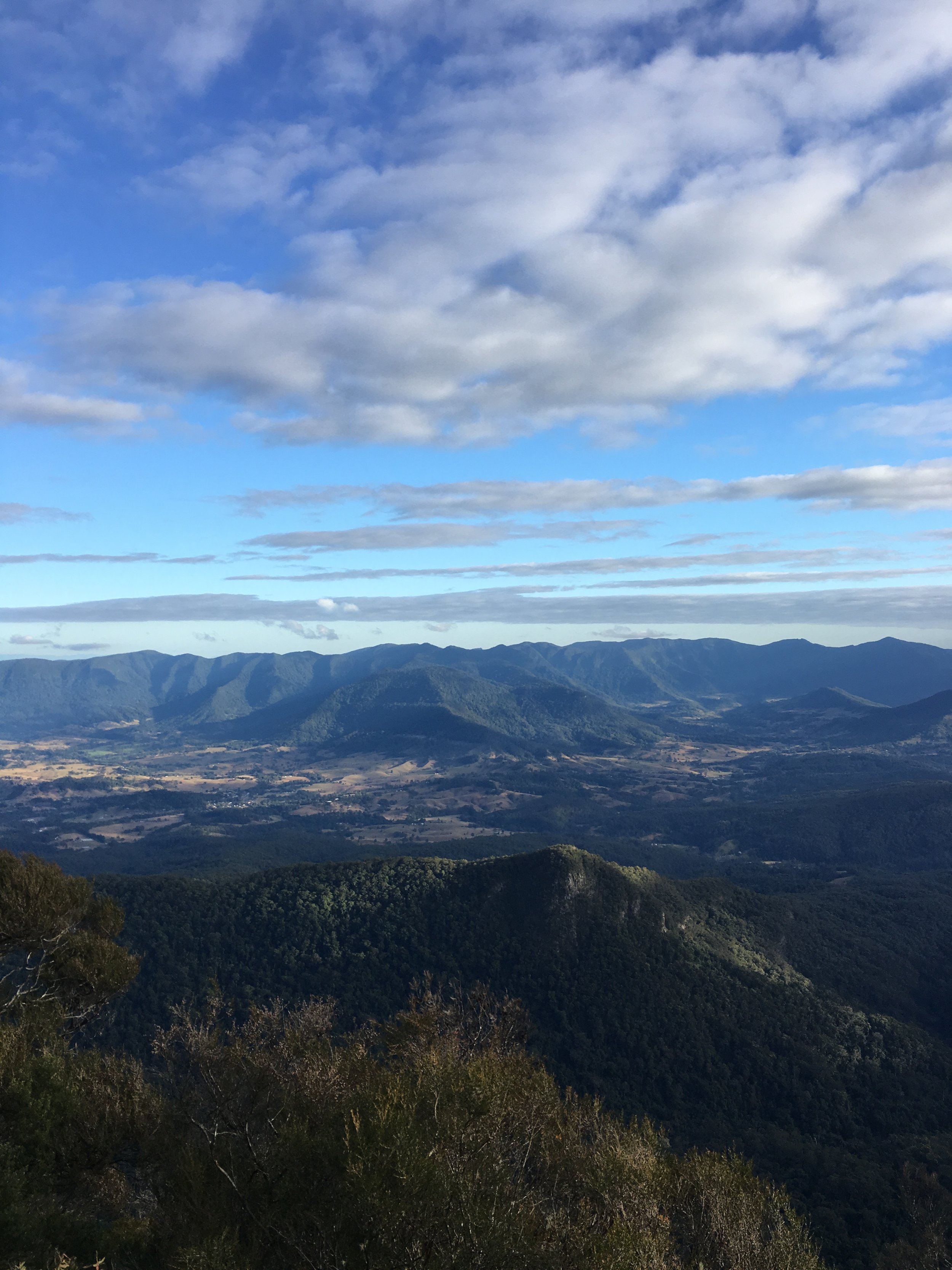
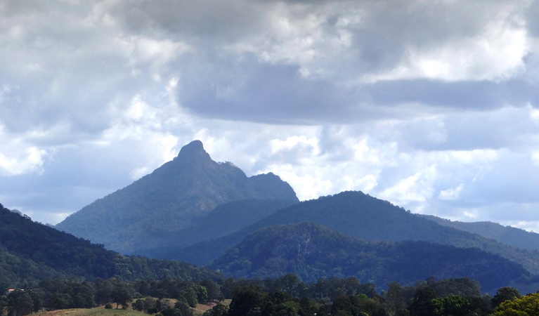
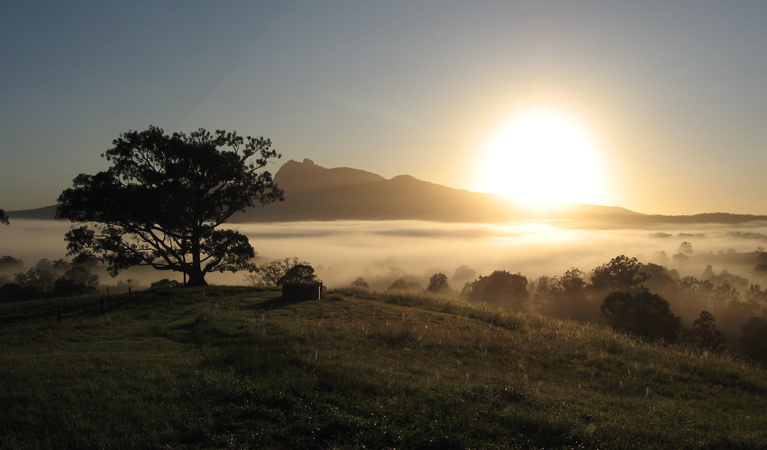
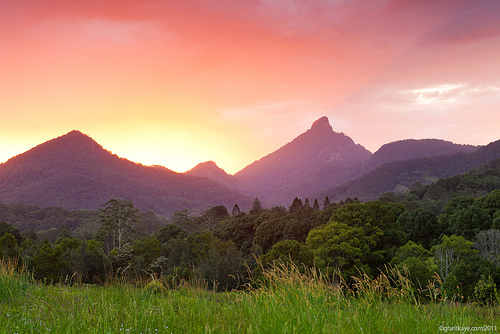
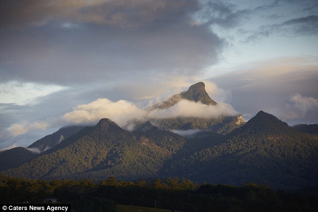
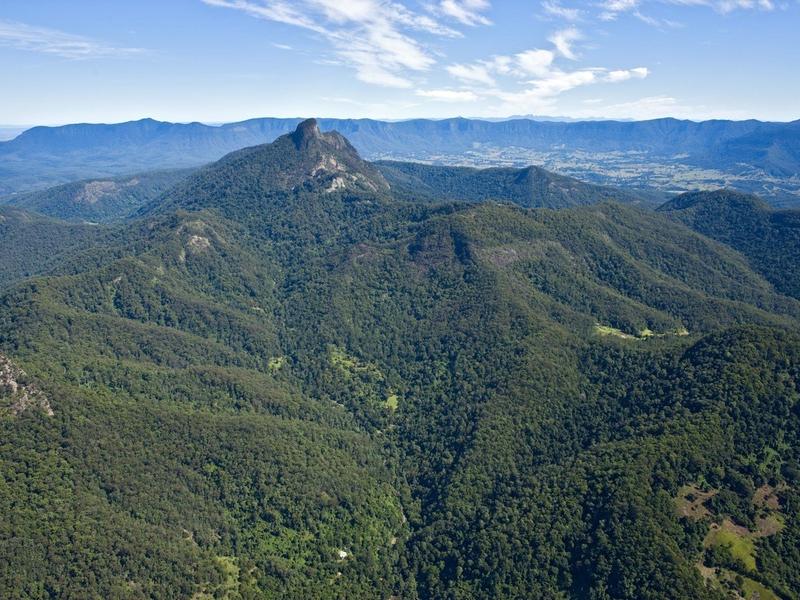
The Mt Warning Rainforest Park is located inland and is at the heart of an ancient caldera. At the centre of the Caldera is Wollumbin (or Mount Warning) a 1100 meter peak, that just up from the rainforest and sugar cane covered coastal plains. Wollumbin (Mount Warning) summit track is a sacred place to the Bundjalung People, and was declared an Aboriginal Place in 2015. Wollumbin, which means ‘cloud catcher’ to some Aboriginal People, is a traditional place of cultural law, initiation and spiritual education for the people of the Bundjalung Nation. Please respect the special nature of this place and take your rubbish off the mountain.
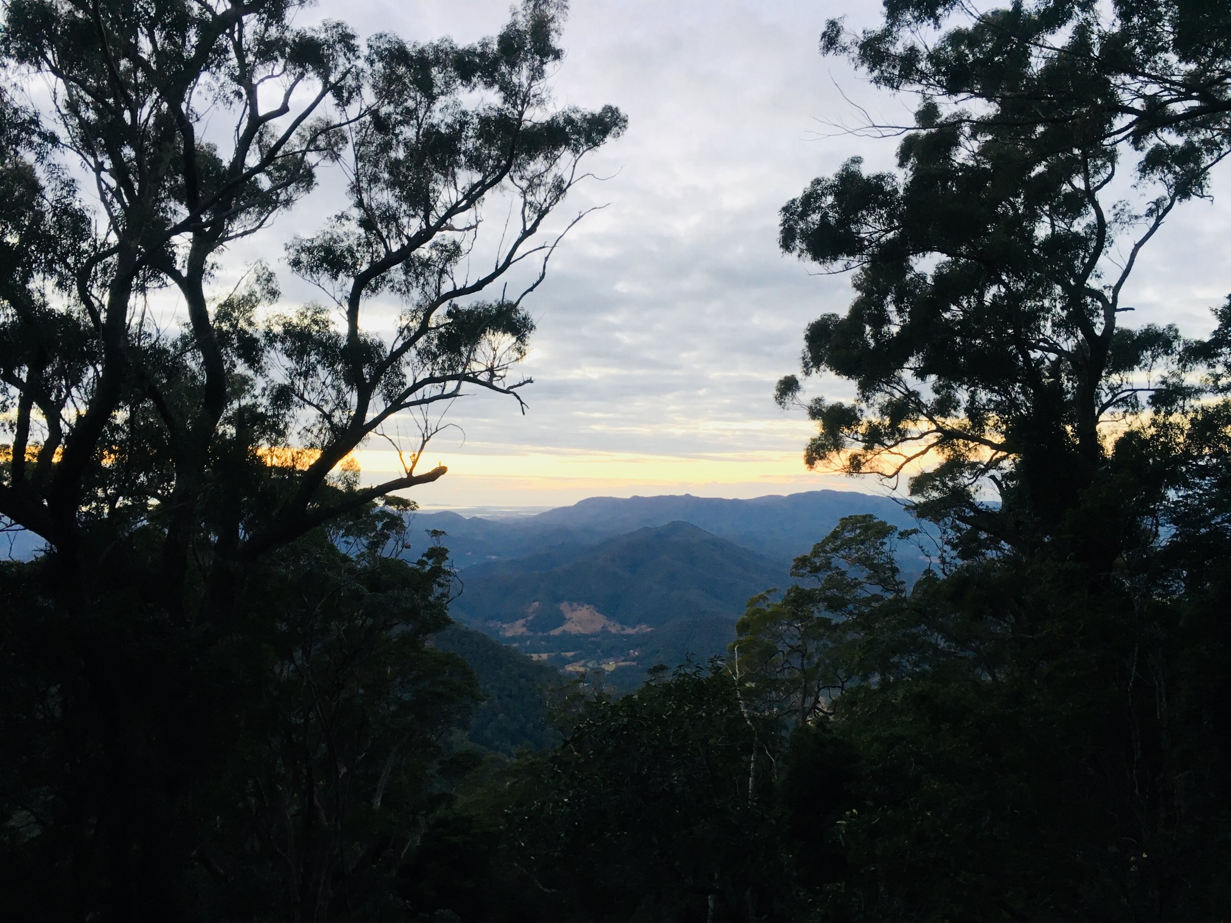
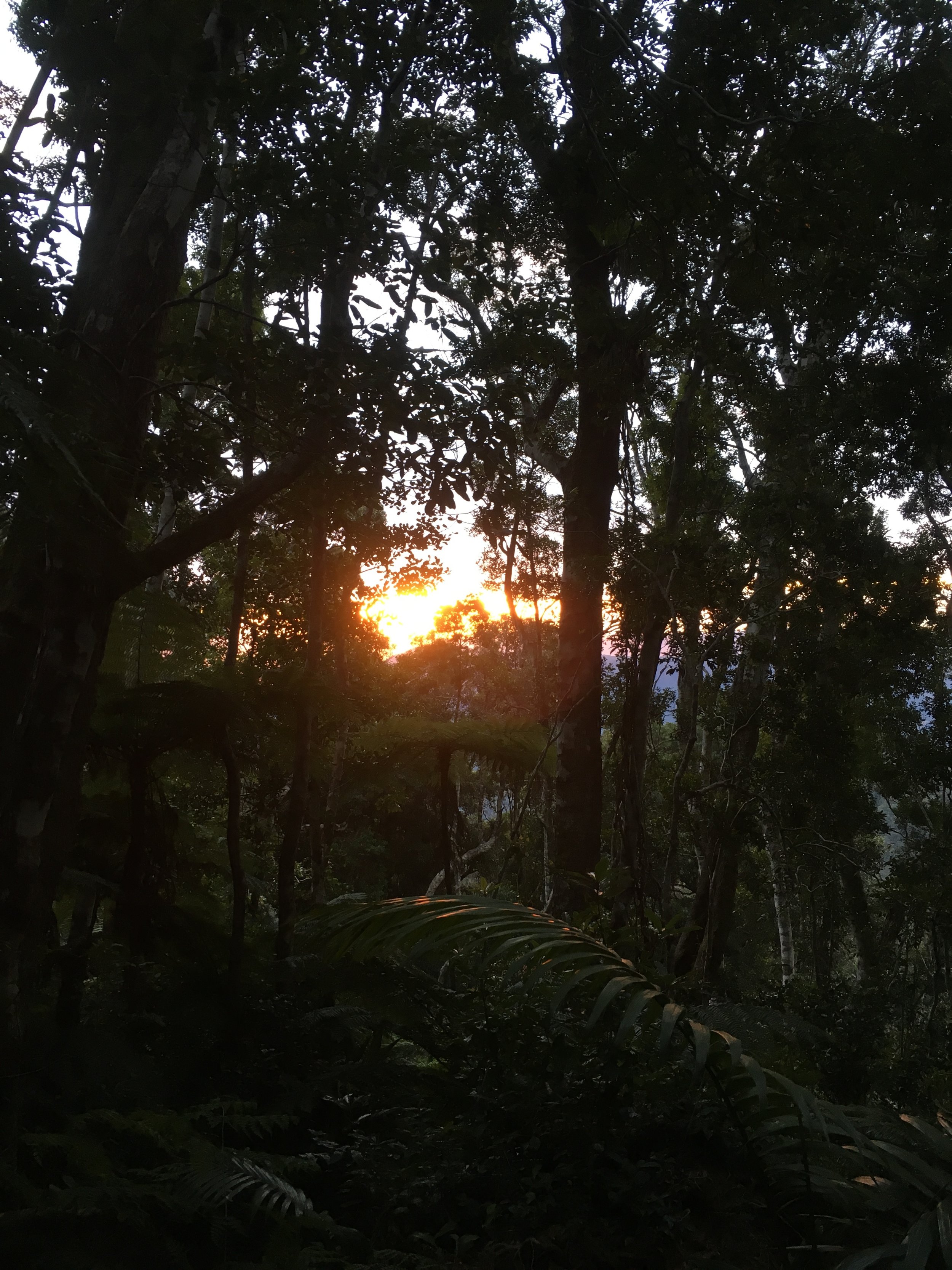
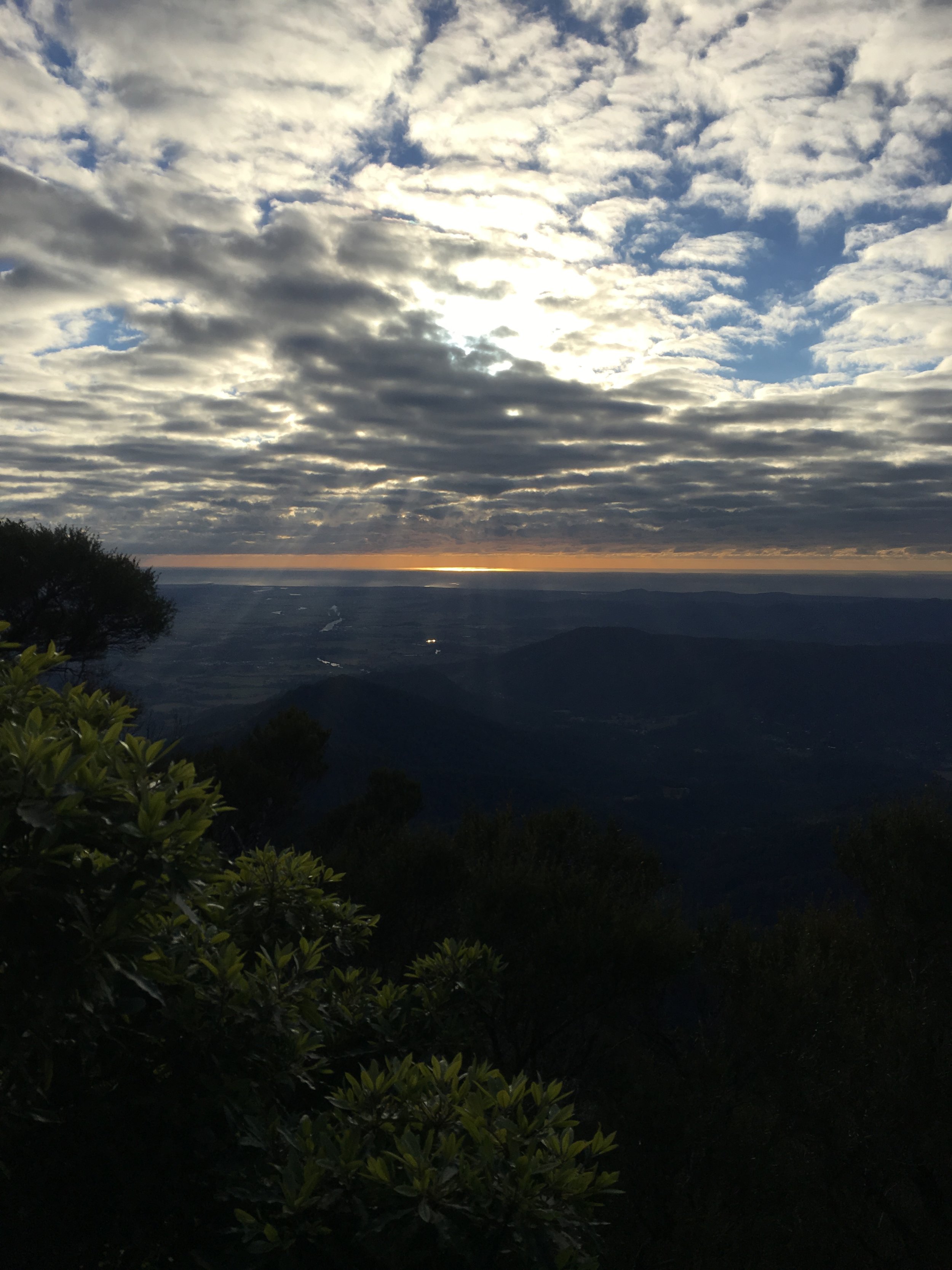
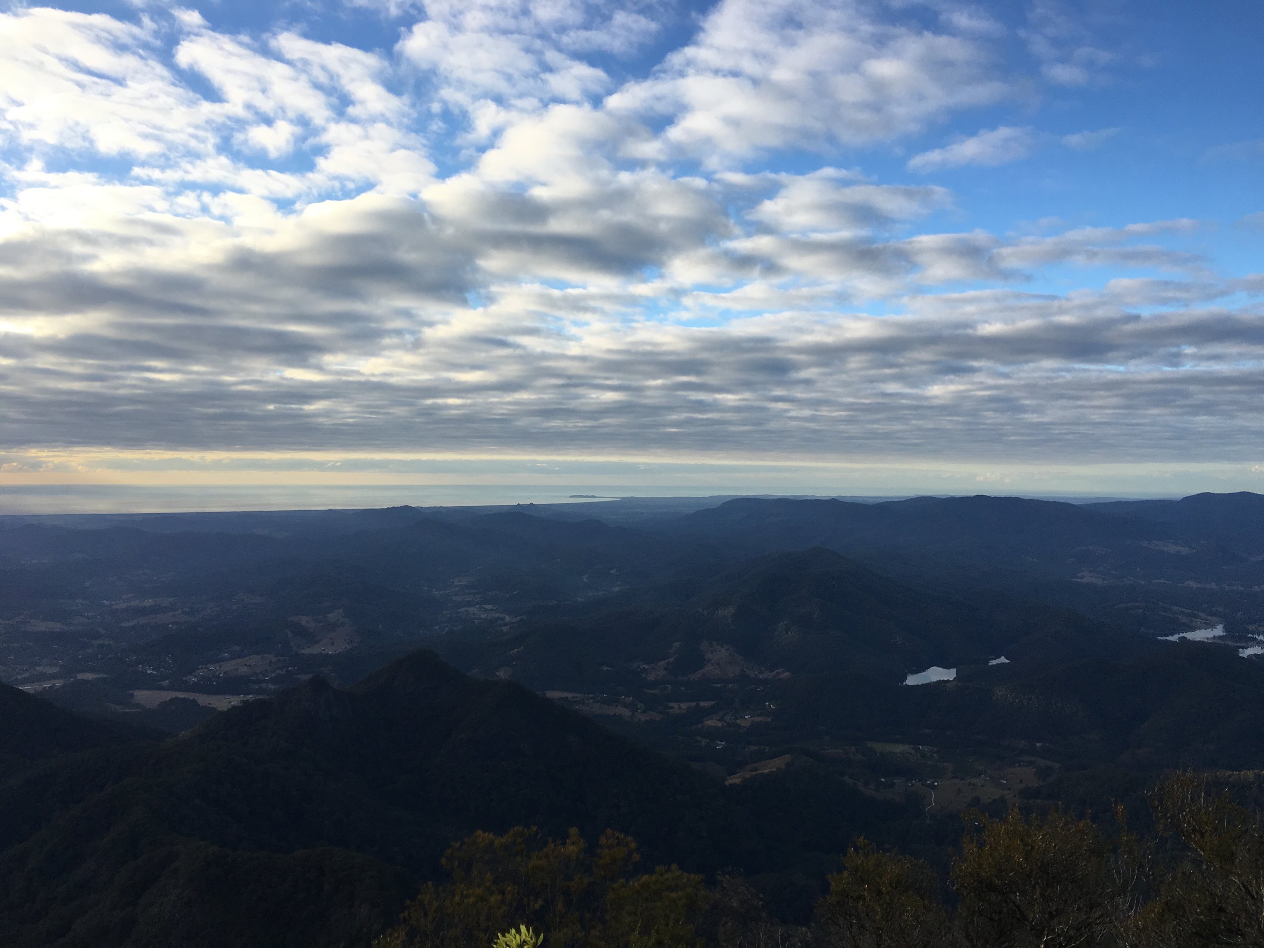
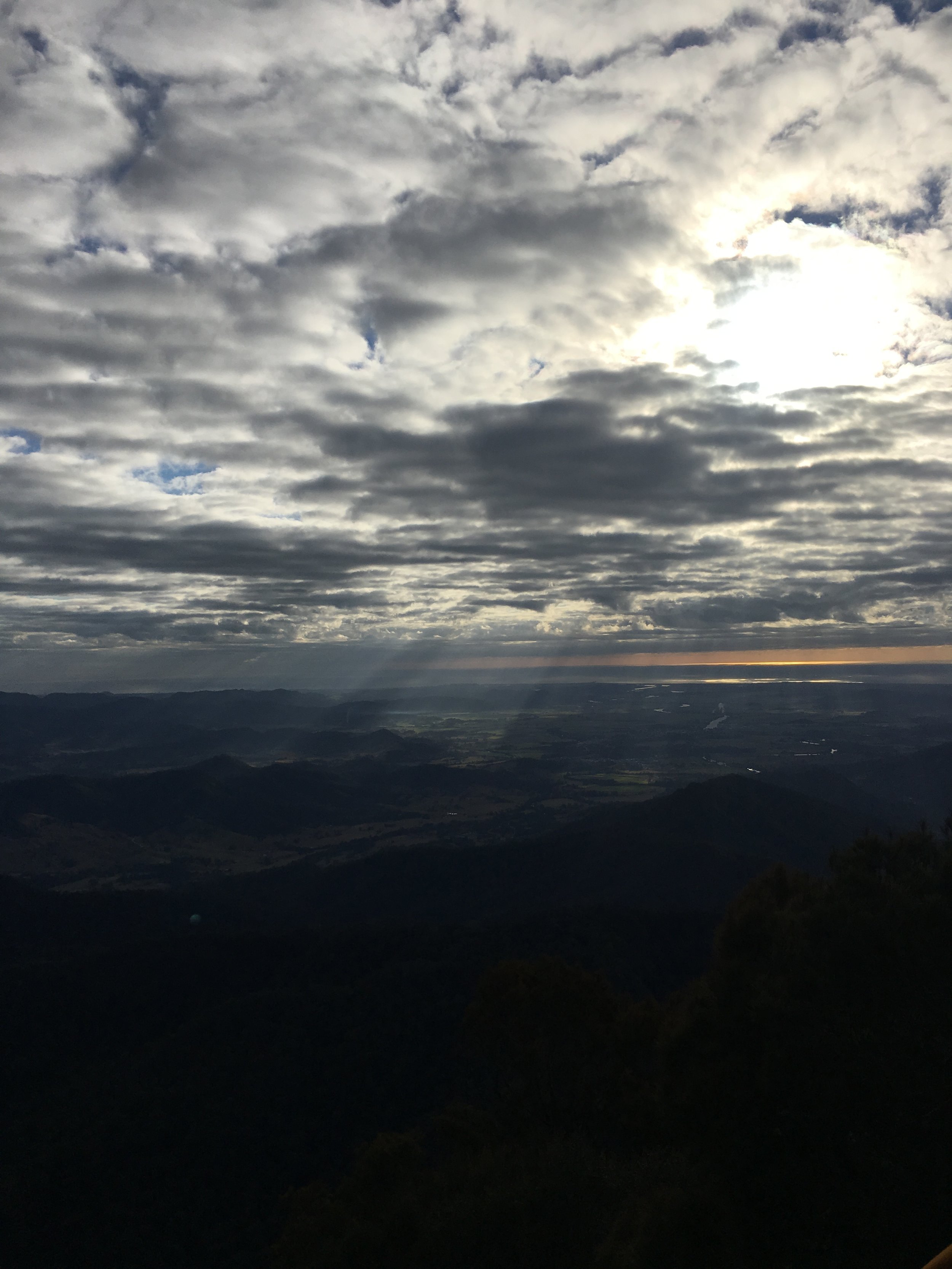
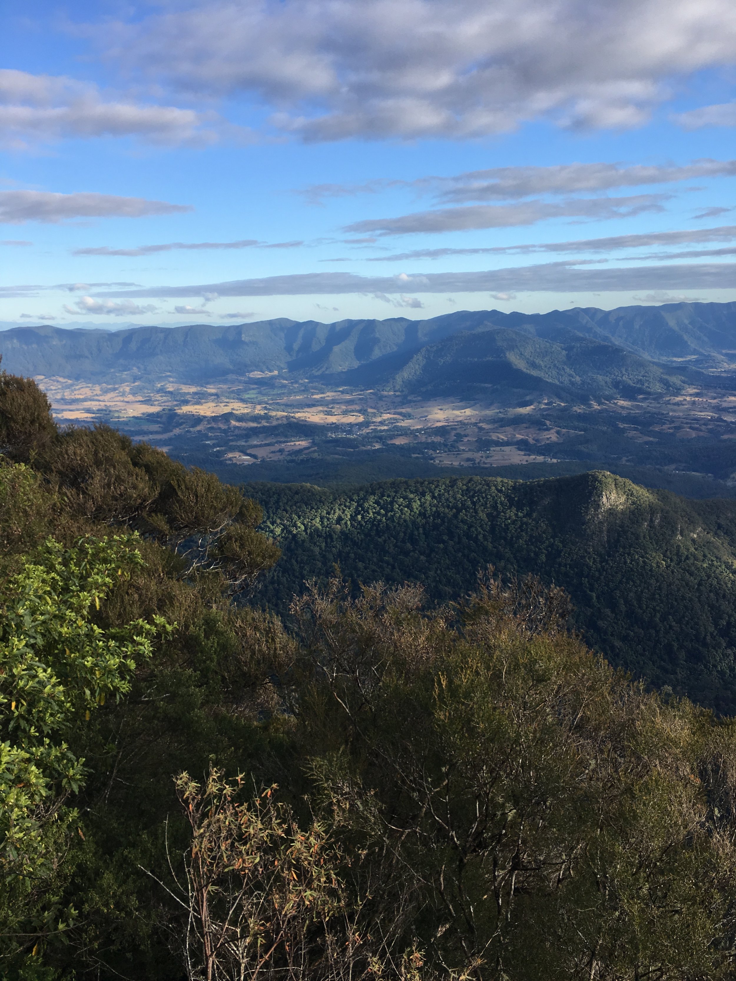
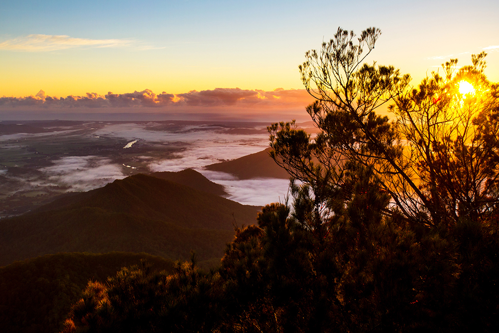
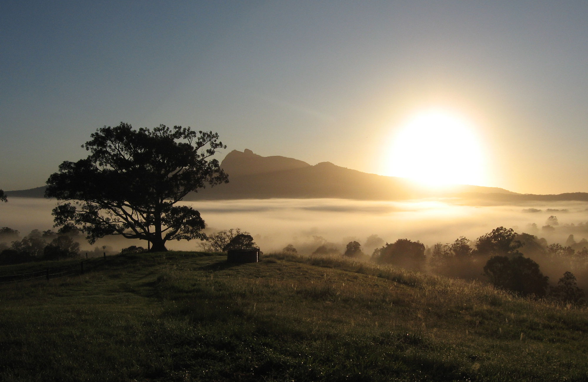
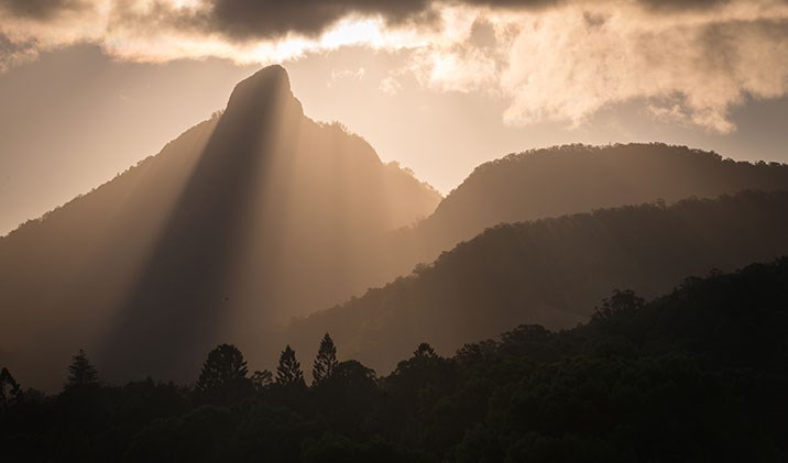
We recommend that you be the first in Australia to see the sunrise from the top of Wollumbin. The 8.8 km, five hour return walk through the rainforest, culminates in breathtaking 360 degree views around the ancient caldera with coastal views stretching from The Gold Coast to Byron Bay. However if you choose to clinmb up to the summit in time for sunrise you will be climbing in the dark and a torch will be required.
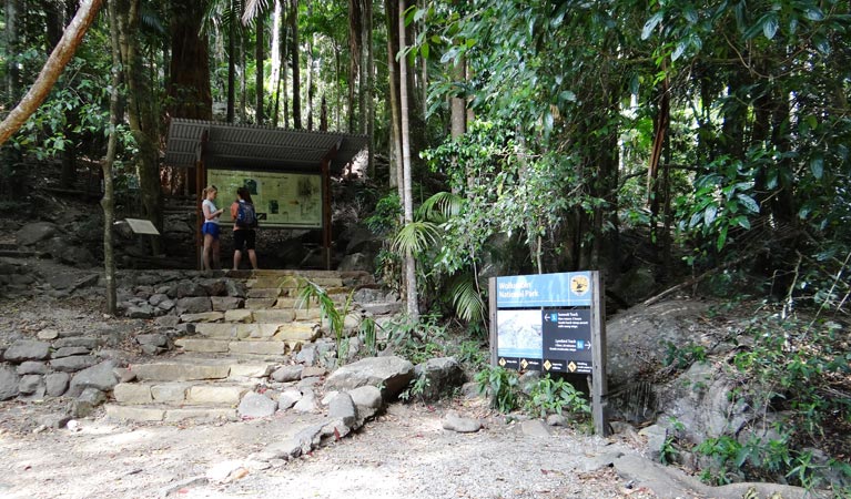
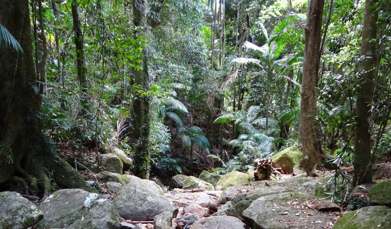
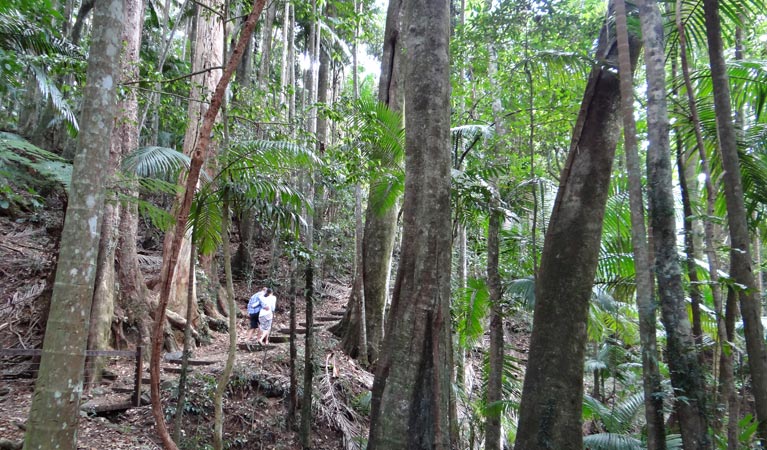
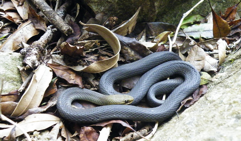
Winding upwards from the Breakfast Creek parking area the Mount Warning summit track passes through a variety of vegetation communities. Subtropical and temperate rainforest, wet sclerophyll forest and heath shrubland are all encountered on your journey.
The last leg of the climb is a challenge, be careful negotiating this part of the journey. It is best described as a scramble up a very steep ascent while hanging onto a metal chain. If you are not familiar with rock climbing it can look a little intimidating. The chain is a good support and it wont take you long to get in a rhythm climbing up to the summit.
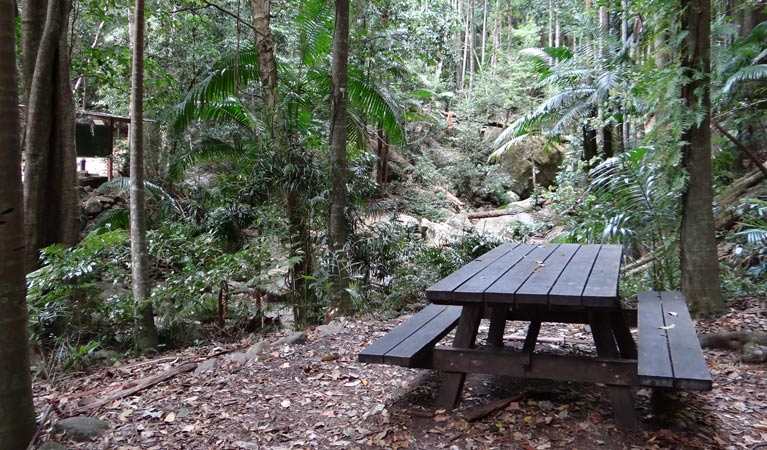
As an alternative to climbimg the mountain enjoy a shorter walk catering for the less energetic. The Lyrebird Track crosses Breakfast Creek before winding some 200m through palm forest to a platform set amongst the lush tropical rainforest. A picnic at The Korrumbyn Creek Picnic Area, situated on the left hand side of the road as you drive towards the mountain, is also available.

Getting there
Departing from Coolangatta on the southern Gold Coast head south-west on Marine Parade, at the roundabout, take the 2nd exit and stay on Marine Parade. Turn left onto Miles St entering into New South Wales, continue onto Ducat St then turn right onto Kennedy Dr.
At the roundabout, take the 1st exit onto the M1 ramp to Ballina. After around 10 kilometres leave the M1 and take the Tweed Valley Way exit towards Tourist Drive 40/Murwillumbah.
Continue towards the Tweed Valley Way/Tourist Drive 40 and at the roundabout, take the 2nd exit and stay on Tweed Valley Way for 16.8 kilometres. At the roundabout, take the 2nd exit onto Alma St and continue onto Wollumbin St and drive through 2 roundabouts
Turn left onto Riverview St which turns slightly right and becomes Kyogle Rd. in about 8.2 kilometres turn right onto Mount Warning Rd.
Parts of this road may be closed at certain times or on certain days drive 6.3 km to the Breakfast Creek Carpark.